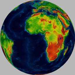
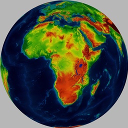
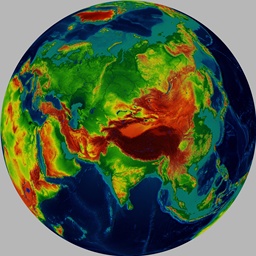
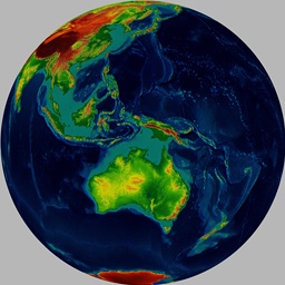
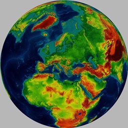
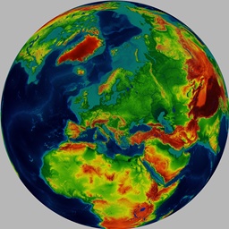
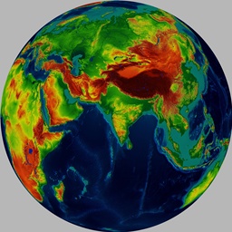
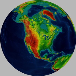
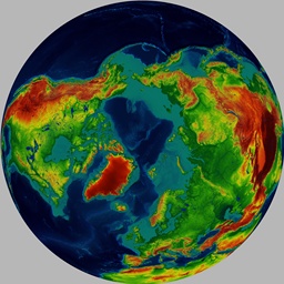
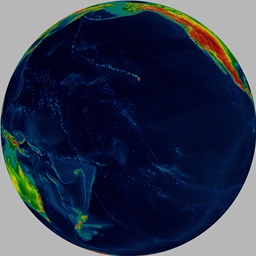
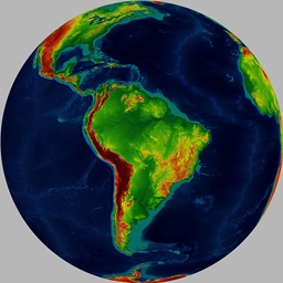
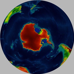
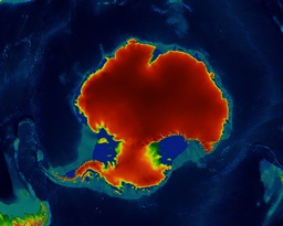
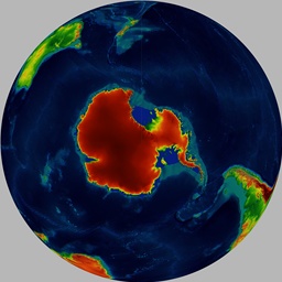
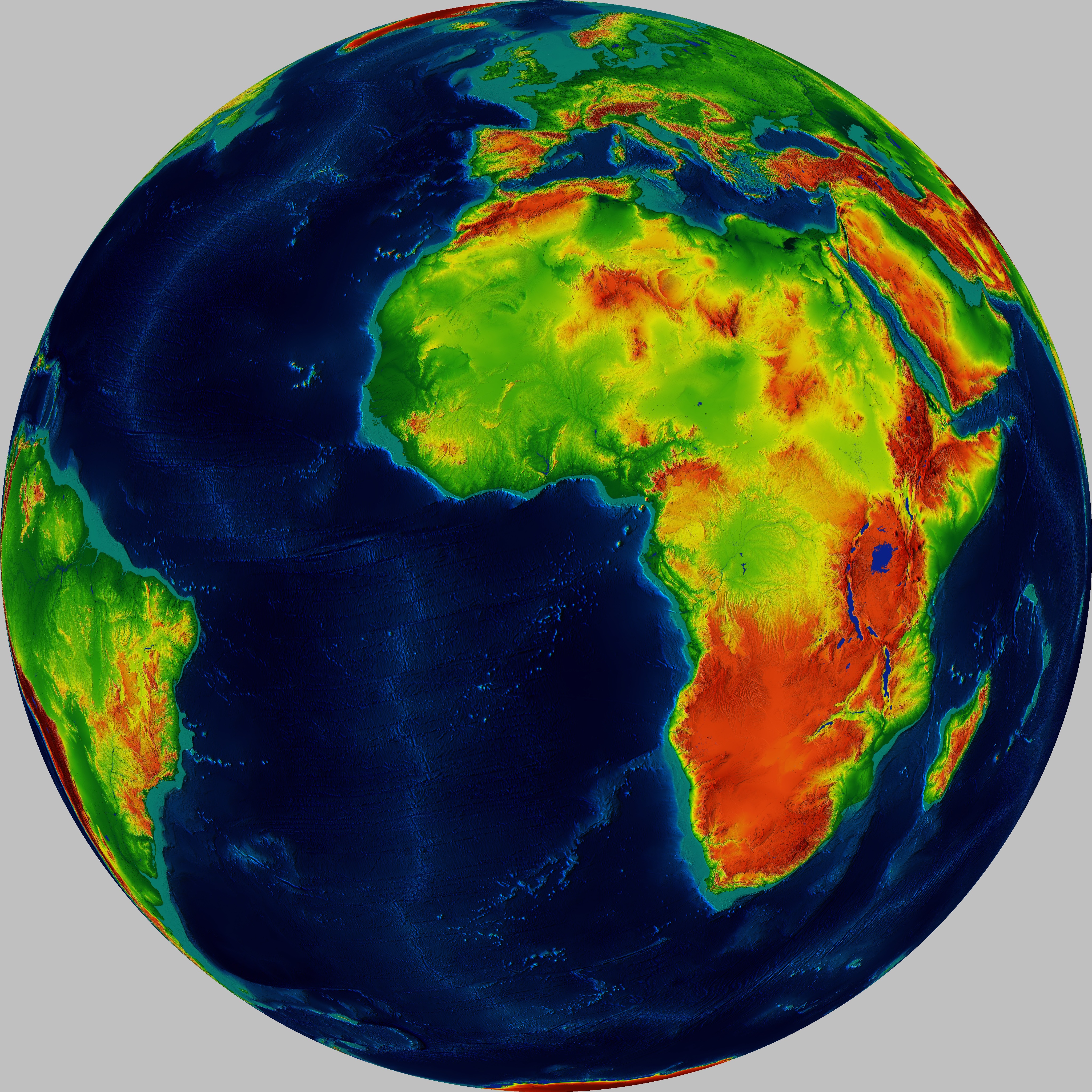
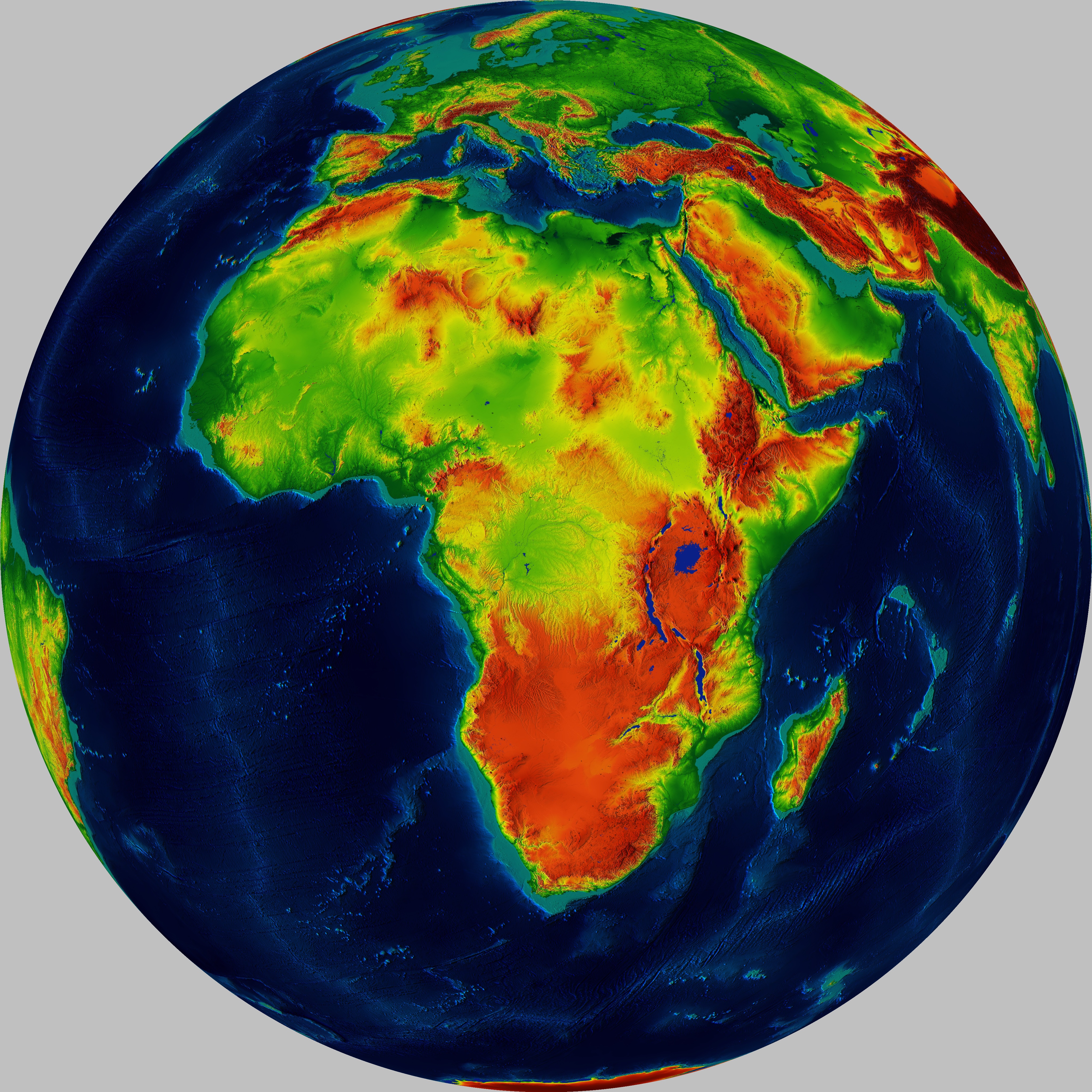
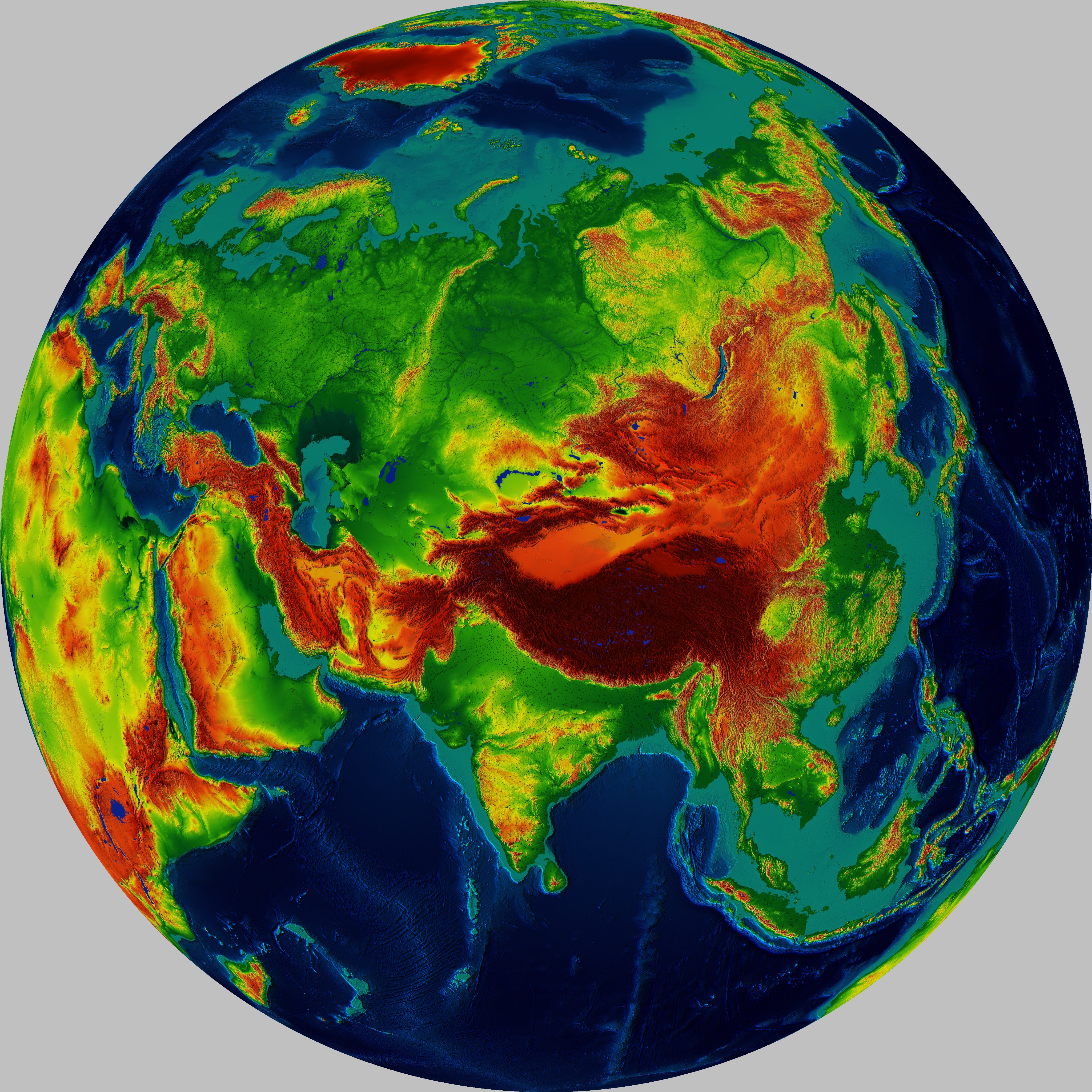
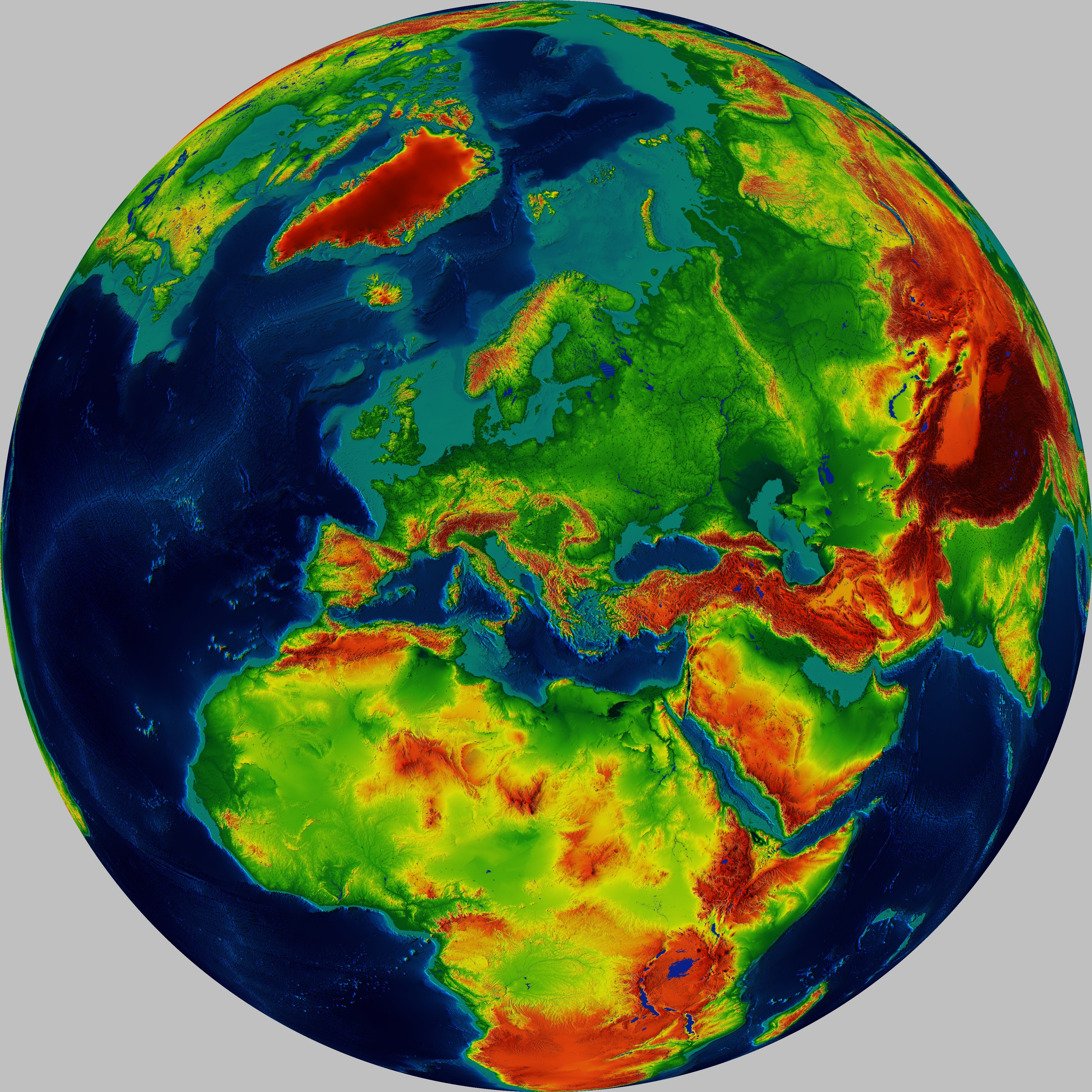
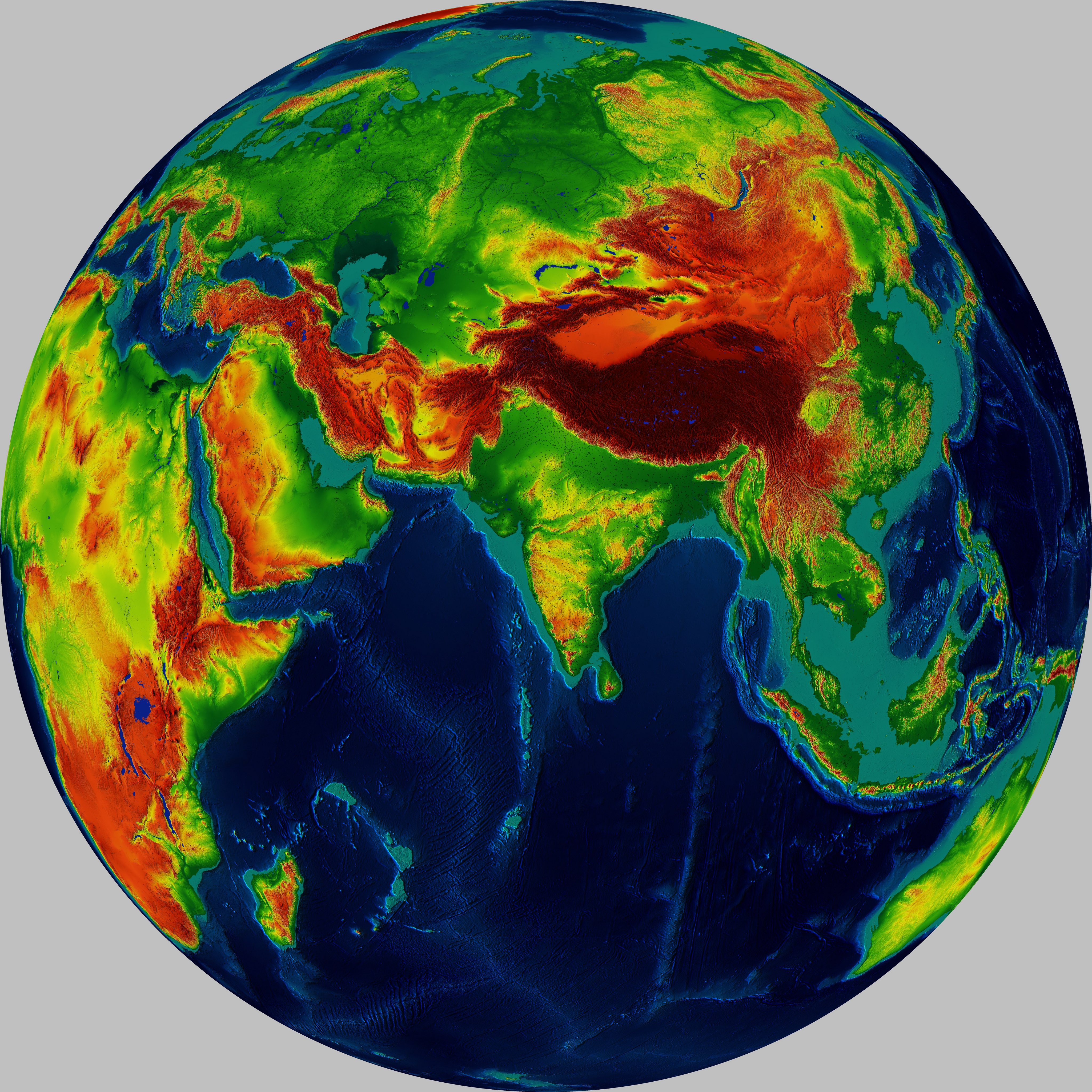
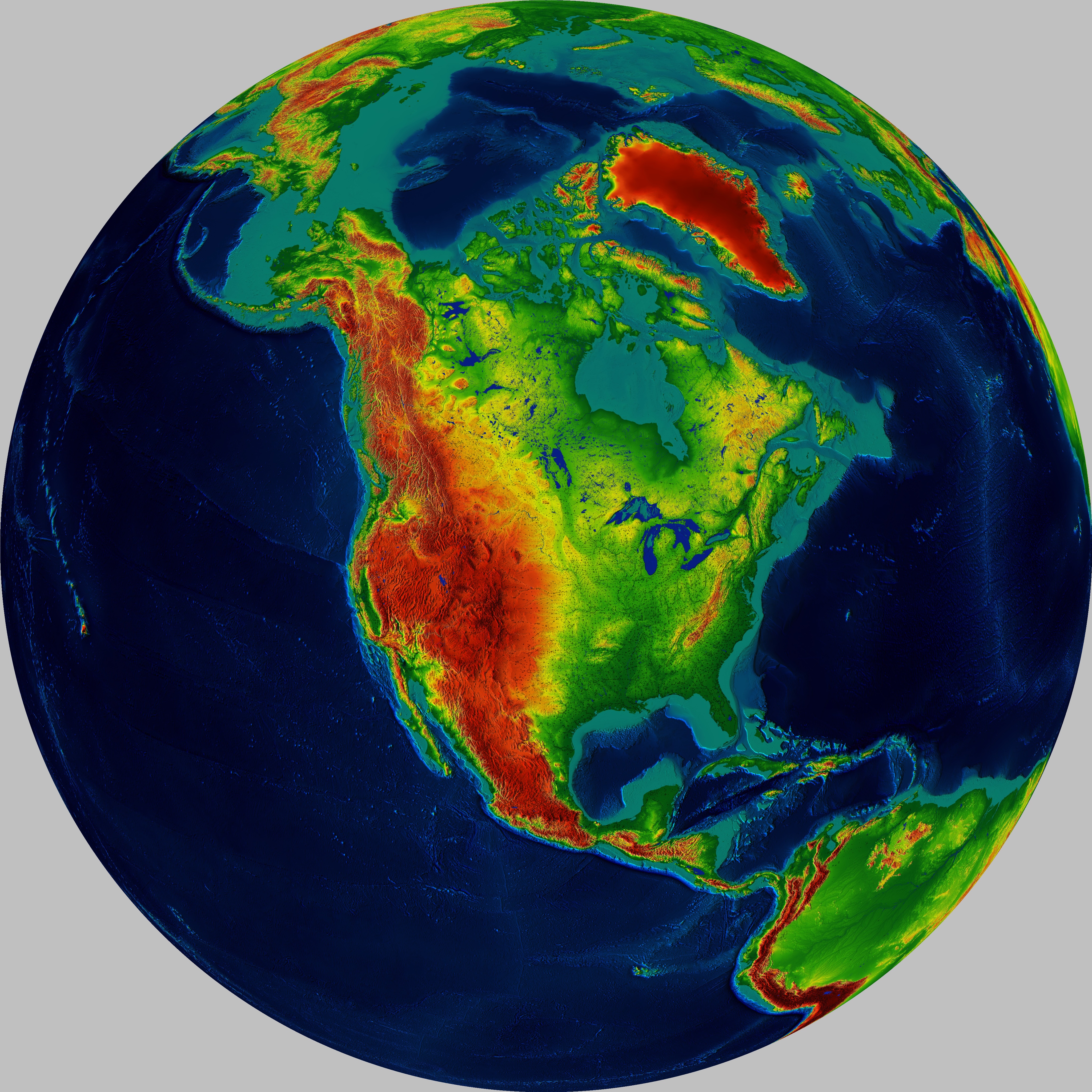
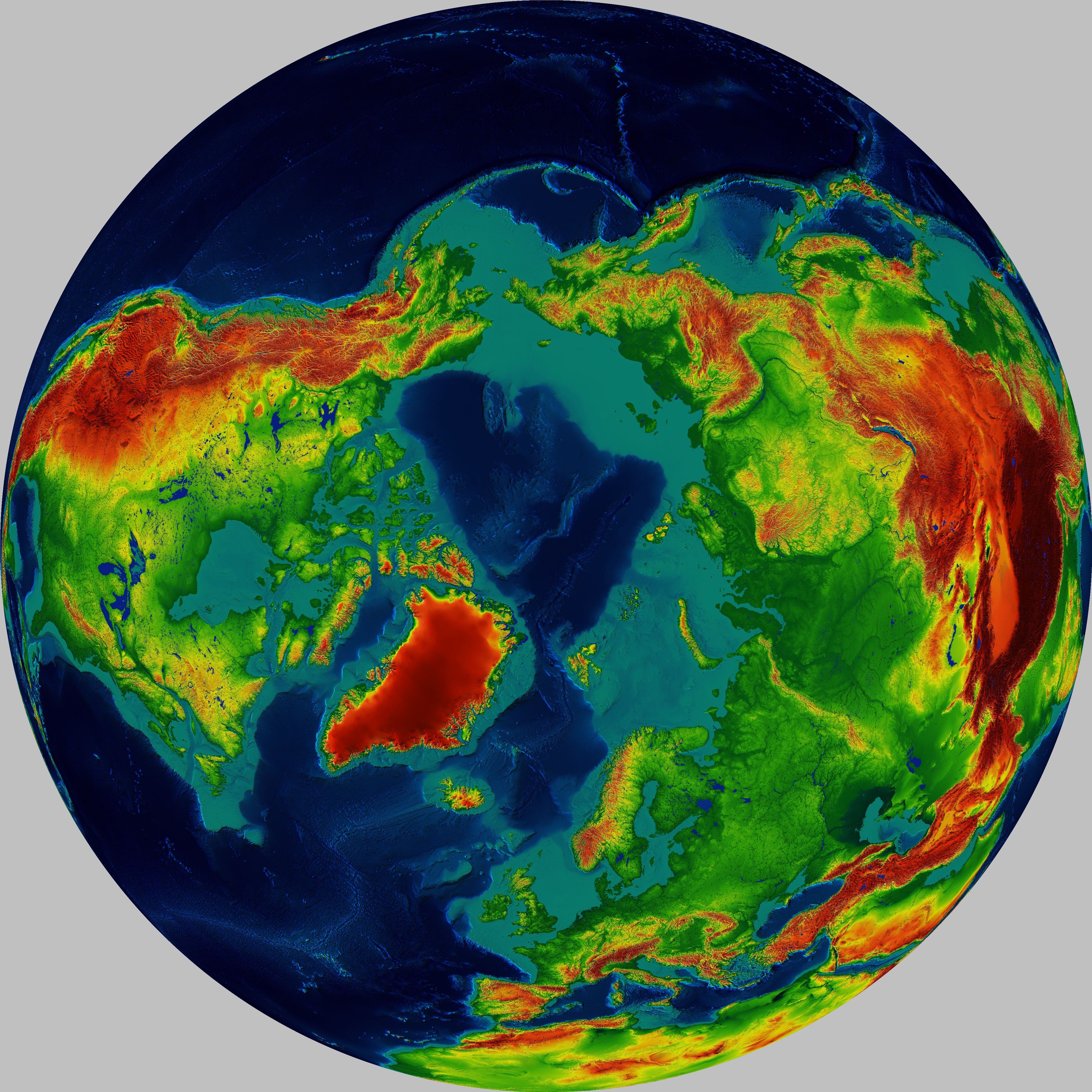
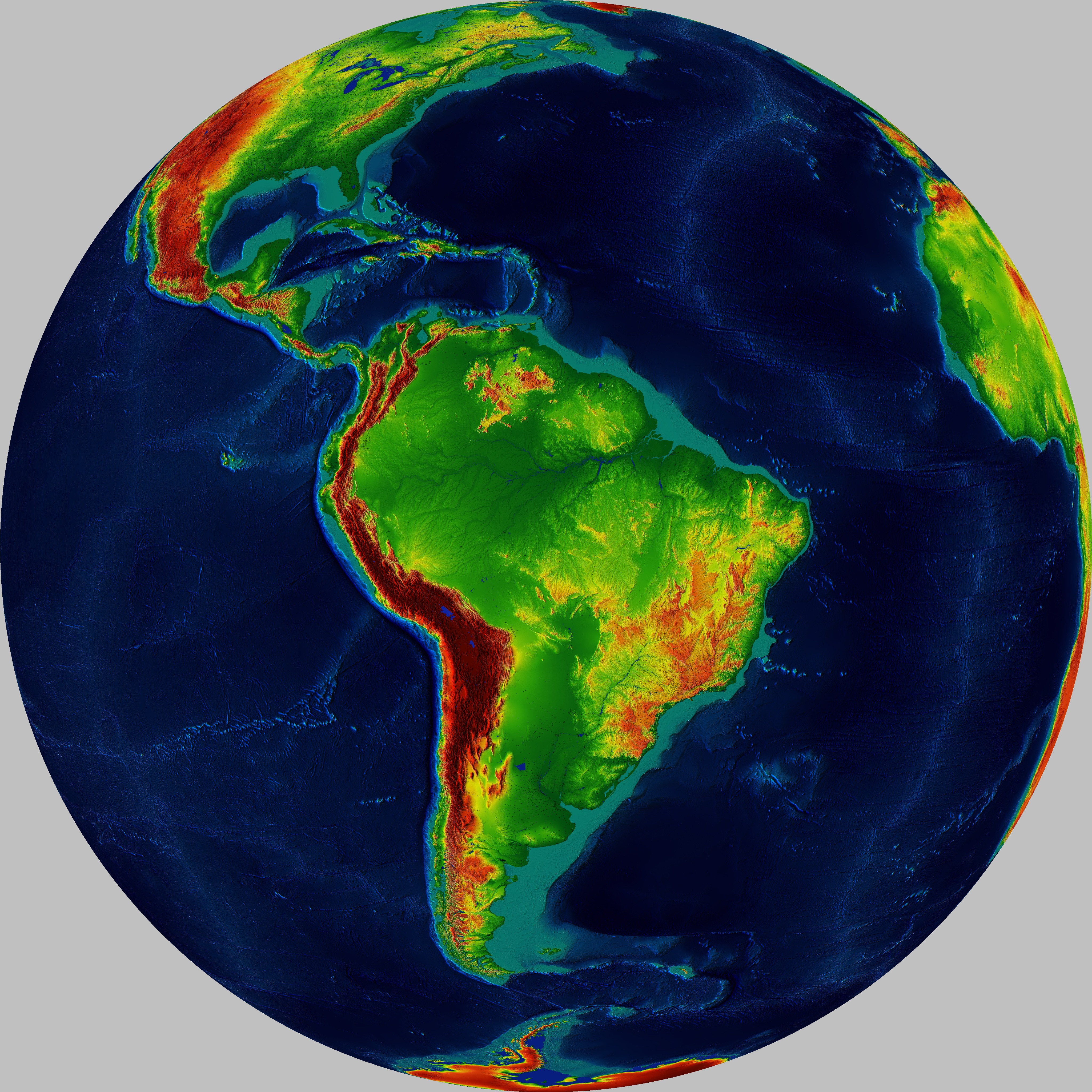
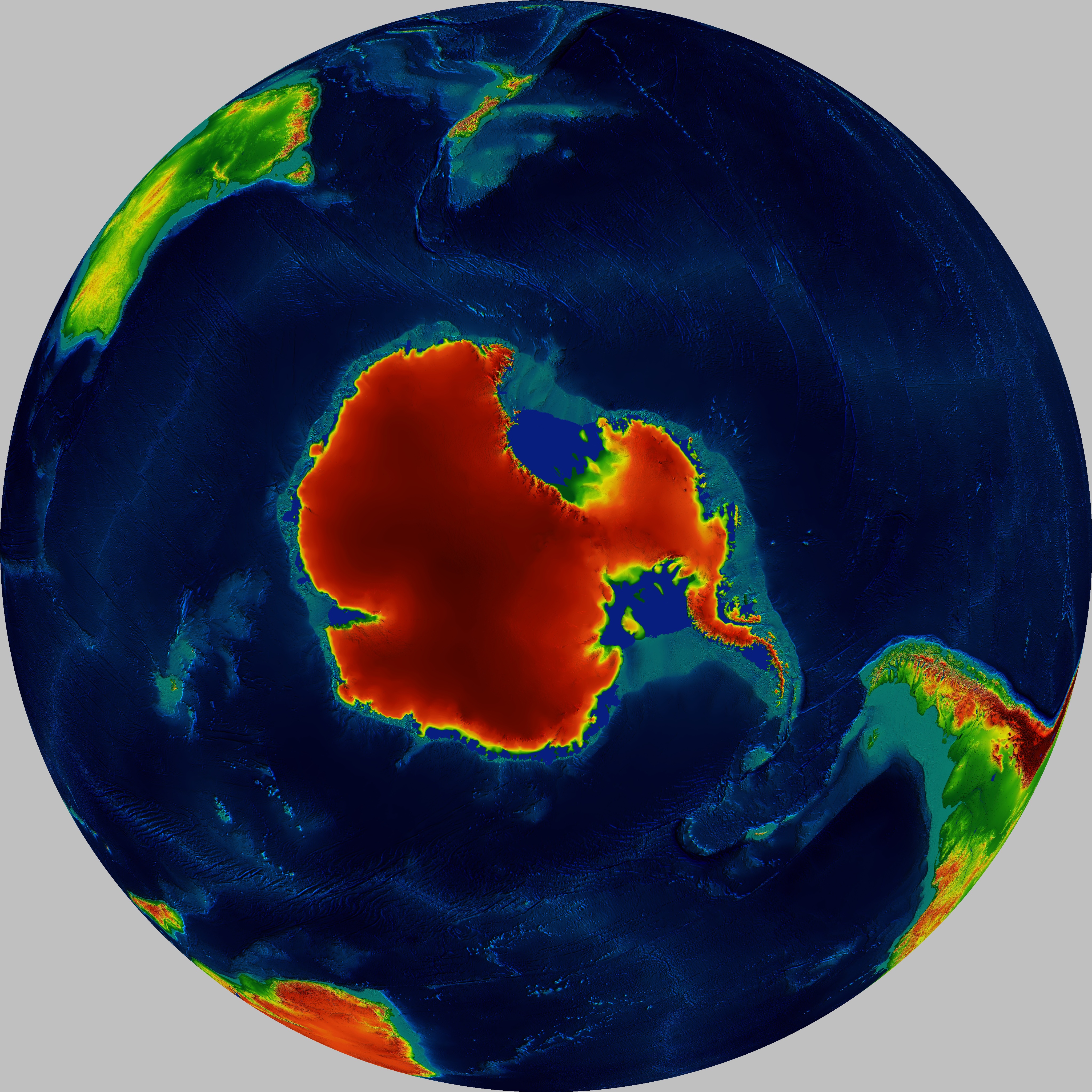
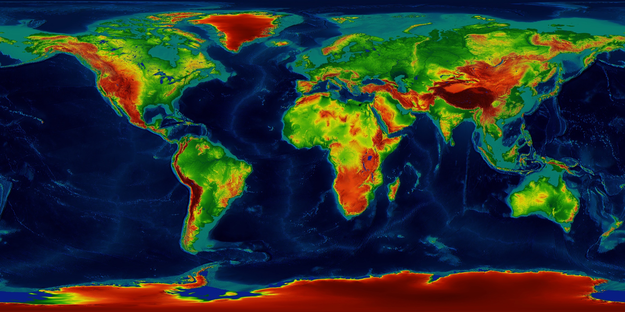
Perspective projection height maps
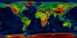
MODIS DEM30 Maps color-coded surface height and SRTM30 ocean depth with shading,
city countours from Night images by NASA...
Source data downloaded from
NASA,
from
MODIS / EDENext portal,
image processing by P.A.Semi 2015...
Images are quite large... (Even larger versions are available on request...)
Rectangular version:
 (large)


 (large)